
To Report a Water or Sewer issue, Please call:
Mon-Thur 6:00am-4:30pm (850) 833-9613
or After Hours (850) 833-9546
The City of Fort Walton Beach, Florida has several Geographic Information System (GIS) Web Map Applications selectable below. They allow users to visualize and use GIS data to perform tasks such as: select properties and create a mailing list or browse and select Parks based upon an desired amenity. If you are unable to use the applications please let us know and we will make every effort to accommodate you.
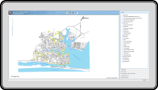
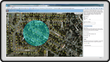
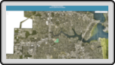
FWBGIS Multi-Layer Map
View parcels, flood zones, and many other layers.
|
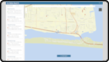
See Click Fix
For Public Input - See Click Fix application allows the general public to submit non-emergency problems.
|
Street Light Map
Report street lights that need repairing.
|
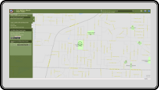
Parks and Recreation Finder Map
Find a park or recreation facility.
|
Fire Hydrant Buffer Map
Check distance to nearest fire hydrant.
|
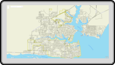
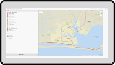
Am I in the City?
Determine if an address is in the city limits by search or click.
|
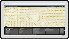
My Government Services Map
Find government services available near a property.
|
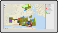
Future Land Use Map
Identify Future Land Use for a property.
|
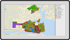
Zoning Map
Identify Zoning for a property.
|
Cemetery Map
Find a Resident interred at Beal Memorial Cemetery or Brooks Memorial Cemetery.
|
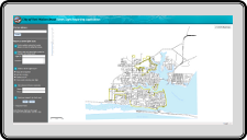
Incident Assessment Dashboard
For City Staff during an emergency - Login required. Incident Assessment Dashboard for viewing street closures and problems during a disaster event.
|
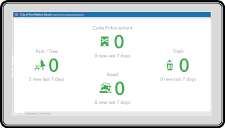
Citizen Service Request Dashboard
For City Staff - Login required. Citizen Service Request Dashboard provides an Overview of Citizen Service Requests and feedback surveys.
|
This product is for informational purposes and may not have been prepared for or be suitable for legal, engineering, or surveying purposes. It does not represent an on-the-ground survey and represents only the approximate relative location of property boundaries. The information you are about to access was derived from many sources, including but not limited to: the City of Fort Walton Beach GIS Division, the Okaloosa County GIS Division, the Okaloosa County Property Appraiser’s Office, the Federal Emergency Management Agency (FEMA), and the Florida Division of Emergency Management. Derived information can only be used for unofficial purposes. To view official data please contact the appropriate agency or contact the City of Fort Walton Beach GIS Division at 850-833-9648 for more information. While every reasonable effort is made to ensure the accuracy, correctness and timeliness of the data presented, the City of Fort Walton Beach makes no warranty or guarantee as to the content, accuracy, timeliness, or completeness of the data provided and assumes no liability for the use of this data.